

Case studies & examples

See the workflow in the field.

Published capture stories and clearly labelled processing examples, with the context behind each result.

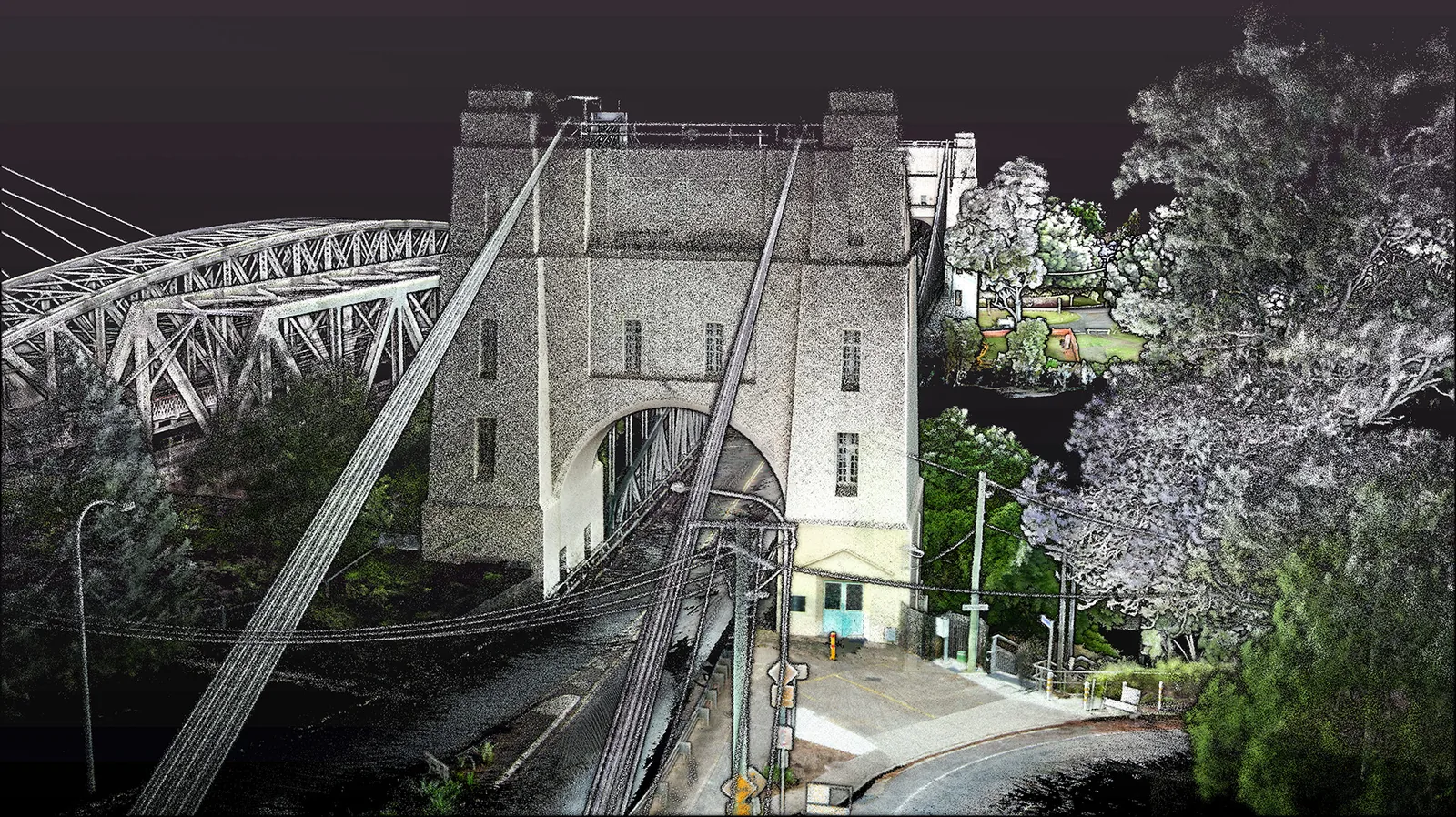
Walter Taylor Bridge point-cloud example

Published field account

Walter Taylor Bridge

A TerrusM walking capture around a complex bridge structure. The original field account describes building local loops and connecting coverage on both sides.

This is an existing AutoMap field story, not a new independent benchmark. Read the original account for capture context.

Explore the example
A connected Seam site point-cloud example

Atlas workflow example

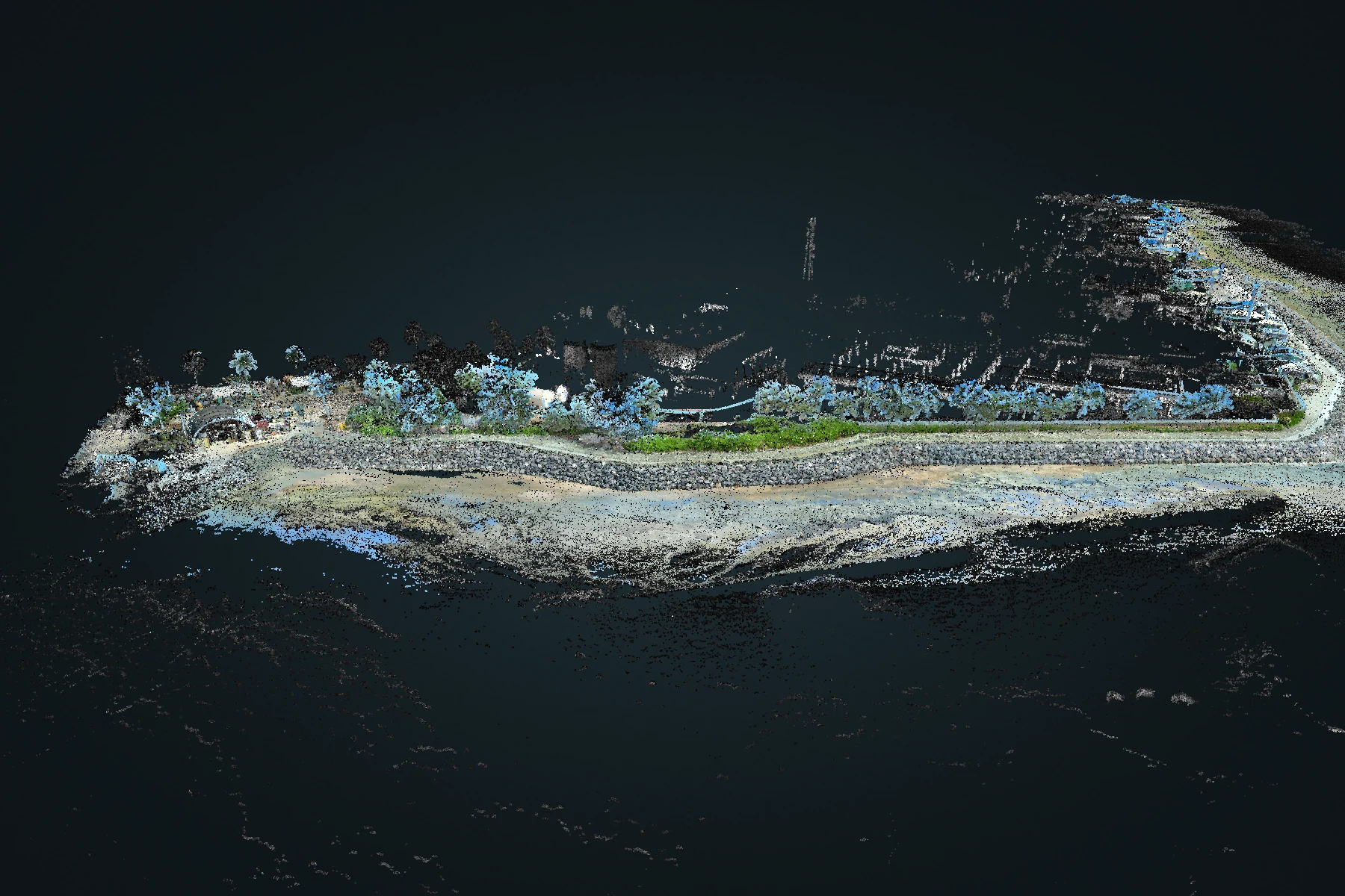
A connected Seam site

Four original recordings contribute to a dense, denoised Atlas view. The example demonstrates combined coverage and retained recording provenance.

Alignment was unvalidated in the reviewed example. The imagery demonstrates the workflow and is not an accuracy acceptance result.

Explore the example
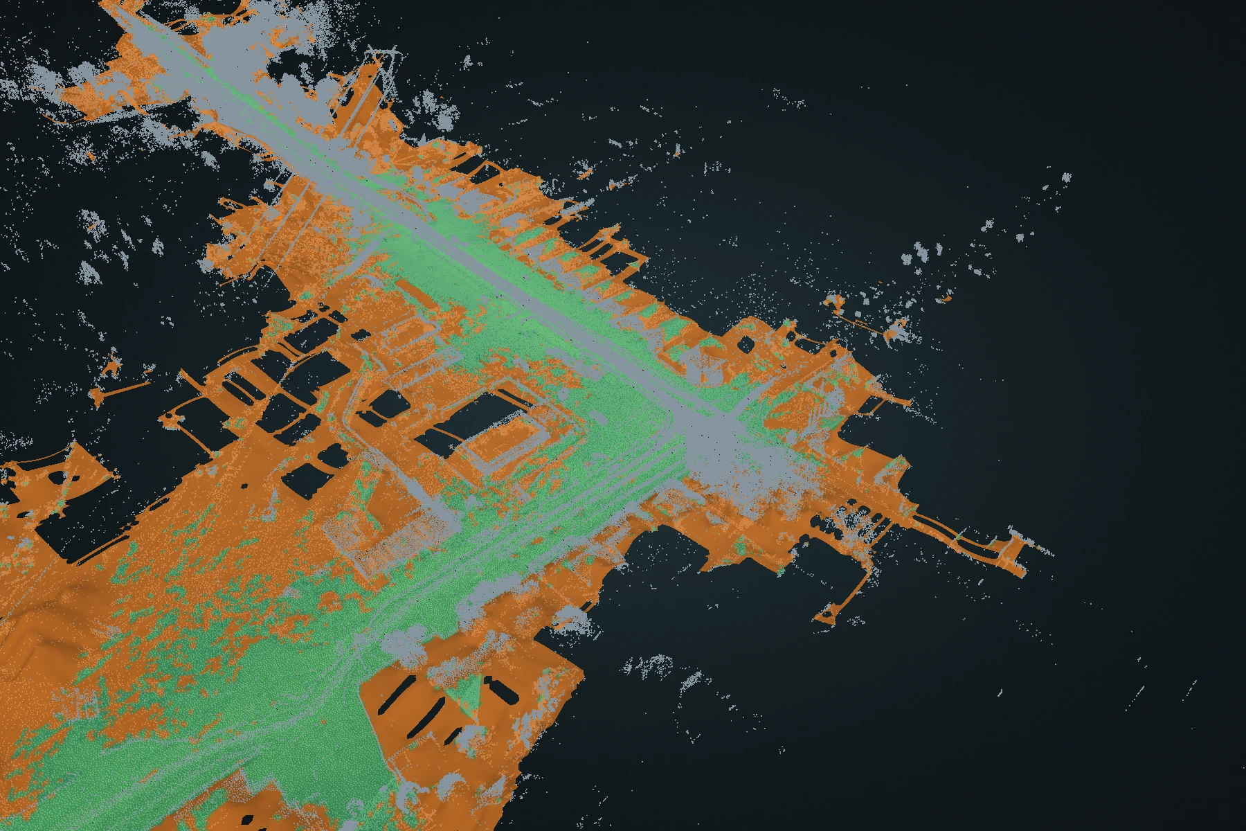
From street scan to terrain point-cloud example

DEM workflow example

From street scan to terrain

15th Avenue & 2nd illustrates a terrain surface reviewed alongside the source point cloud, including supported fits and reconstructed estimates.

The terrain is a 2.5D model. Grid spacing and a continuous appearance do not by themselves establish survey accuracy.

Explore the example