
Registration / Atlas multi-map merge
Connect every capture.
Bring overlapping recordings into a shared spatial solution. Review the combined coverage while retaining the origin of each capture.
Start with
Overlapping recordings, their trajectories and calibration context.
Create
A combined map, or separately exported recordings in a common spatial frame where supported by the workflow.
Why it matters
Extend coverage across capture sessions and review a connected site instead of managing isolated maps.
How atlas multi-map merge works.
- 01
Select the recordings
Choose captures with shared, stable geometry. Check their calibration, coverage and coordinate information.
- 02
Connect and optimise
Atlas finds relationships between recording agents and jointly refines the connected trajectories and map geometry.
- 03
Inspect the connections
Review shared features from plan, oblique and walking-level views. Check for doubled surfaces, gaps and disconnected sections.
- 04
Publish the right output
Use the combined map for site review, or preserve separate recording outputs when the next task needs their individual identities.
Read the result in context
The illustrated Seam dataset is a workflow example. Its alignment was unvalidated at the time of capture; visual detail is not an accuracy certificate.
Take the next step.
Comparison
Atlas change detection
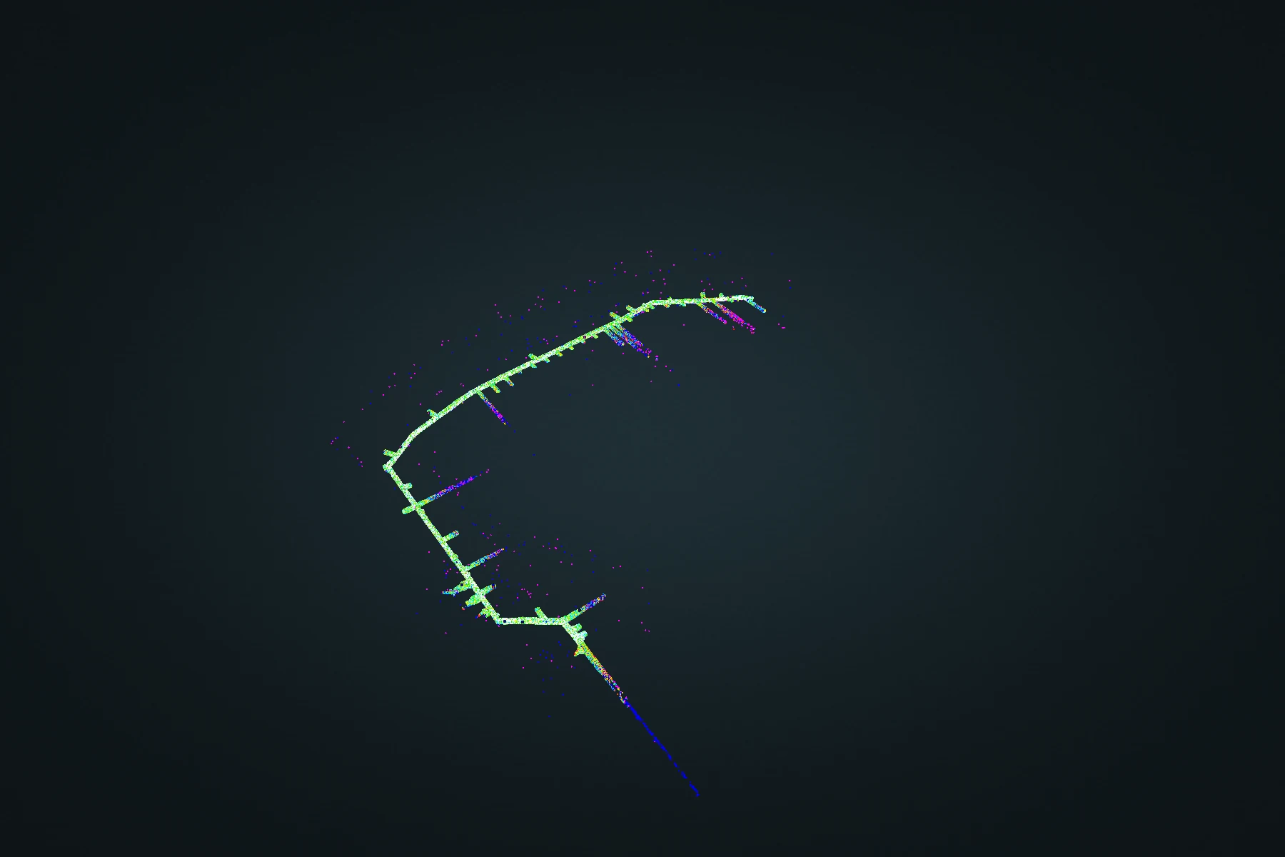
Jointly align repeat surveys before comparing them. Atlas Merge connects the captures, then splits their outputs to retain the distinction between survey dates.
Explore Atlas change detection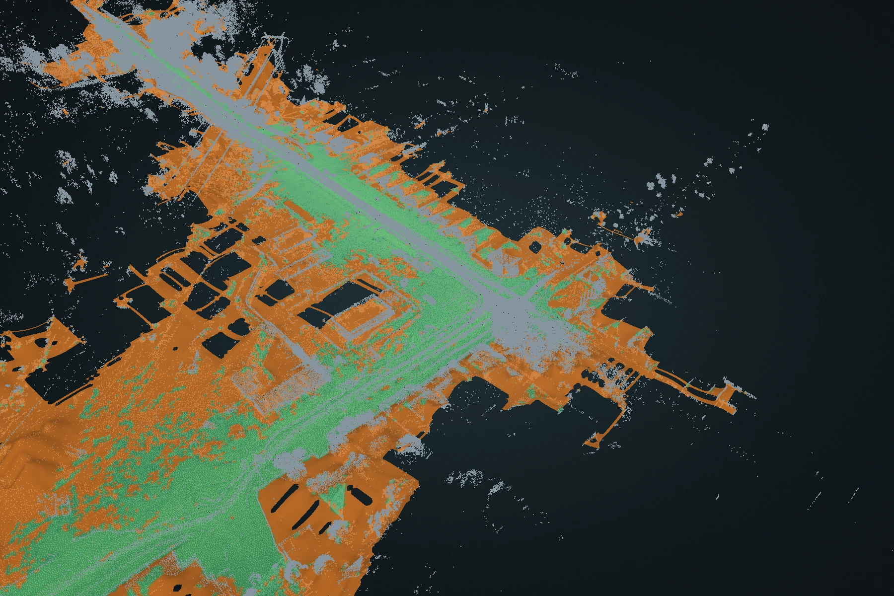
Terrain
Terrain DEM
Turn a full point cloud into a ground-oriented elevation surface. Inspect fitted ground and reconstructed estimates, then carry the surface into CAD or GIS.
Explore Terrain DEM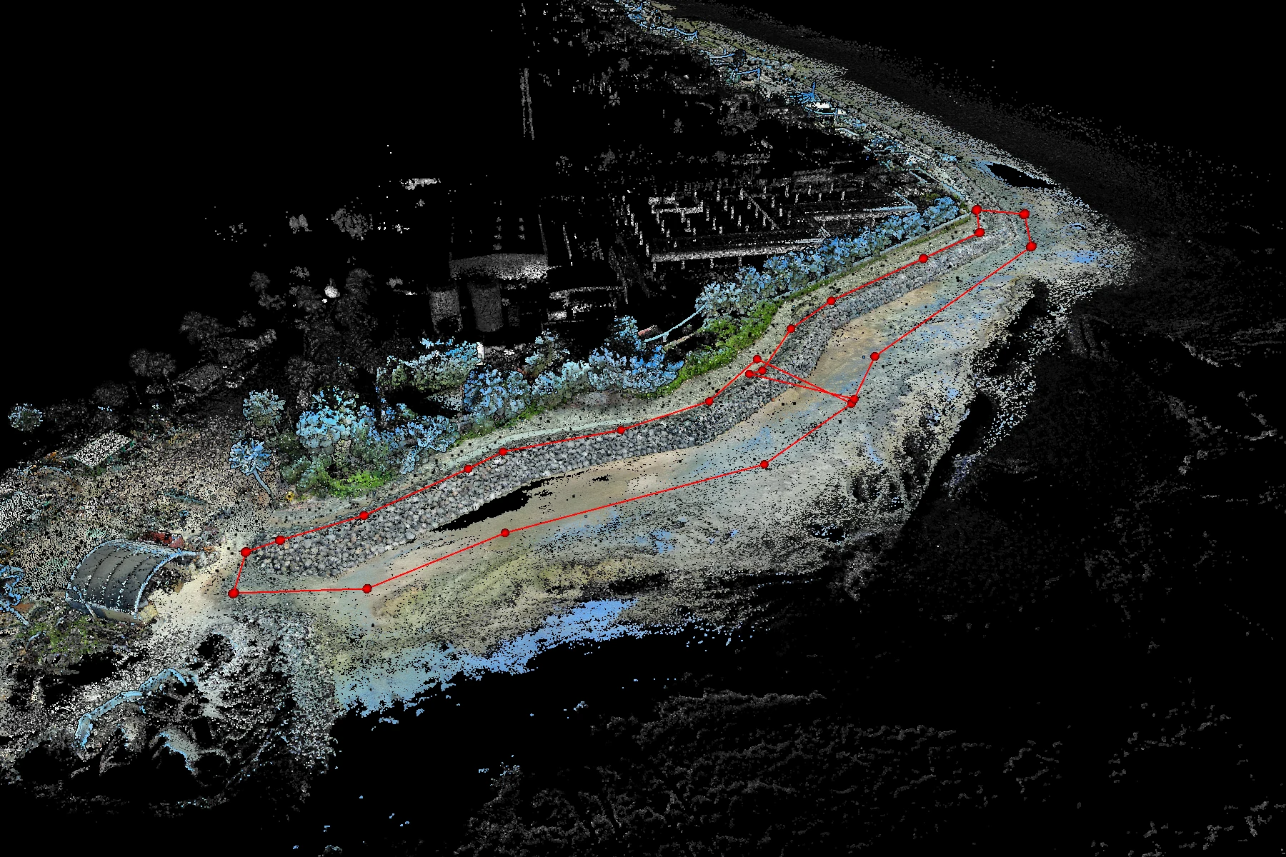
Measurement
Volumetrics
Draw an area, choose a reference base and calculate the volume between that base and the captured surface.
Explore Volumetrics